UNDER DEVELOPMENT
Neighbourhoods are local areas with a distinct sense of unique community. They comprise families and homes that are spatially close to each other.
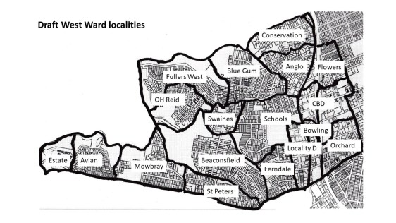
In 2006, Willoughby Council gazetted four suburbs within the West Ward. However, suburbs (like Chatswood) can be quite large. Local neighbourhoods by nature are relatively small. We have identified seventeen possible neighbourhoods within the Ward.
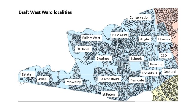
Draft neighbourhood names
We would be interested to hear your views on these localities.
Would you suggest other names?
Suburb of LANE COVE NORTH
Estate: The medium density housing estate at the end of Mowbray Rd West.
Avian: Properties north of Mowbray Rd West around Avian Cresent and surrounding streets.
Mowbray: Properties to the east of Mowbray School towards Felton Avenue.
St Peters: From Felton Avenue to Beaconsfield Road.
Suburb of CHATSWOOD WEST
OH Reid: Homes to the north of the OH Reid Reserve.
Fullers West: Homes accessed via Fullers Rd West and Millwood Avenue.
Suburb of ROSEVILLE
Conservation: Comprising the North Chatswood and Wyvern Conservation area.
Suburb of CHATSWOOD
Blue Gum: Homes to the east of the Church of Scientology to Blue Gum Creek.
Anglo: Homes between Blue Gum Creek and the Highway.
Swaines: Homes accessed by Greville Street south of Fullers Rd.
Schools: Homes south of Fullers Road around the schools.
Ferndale: Homes north of Mowbray Road West
Locality ‘D’: Largely medium density homes along the Highway.
Bowling: Largely medium density homes south of the CBD and east of the Highway
CBD: The Central Business District including homes in high rise buildings.
Orchard: Homes east of the railway line south of the CBD.
Flowers: Home east of the railway line north of the CBD